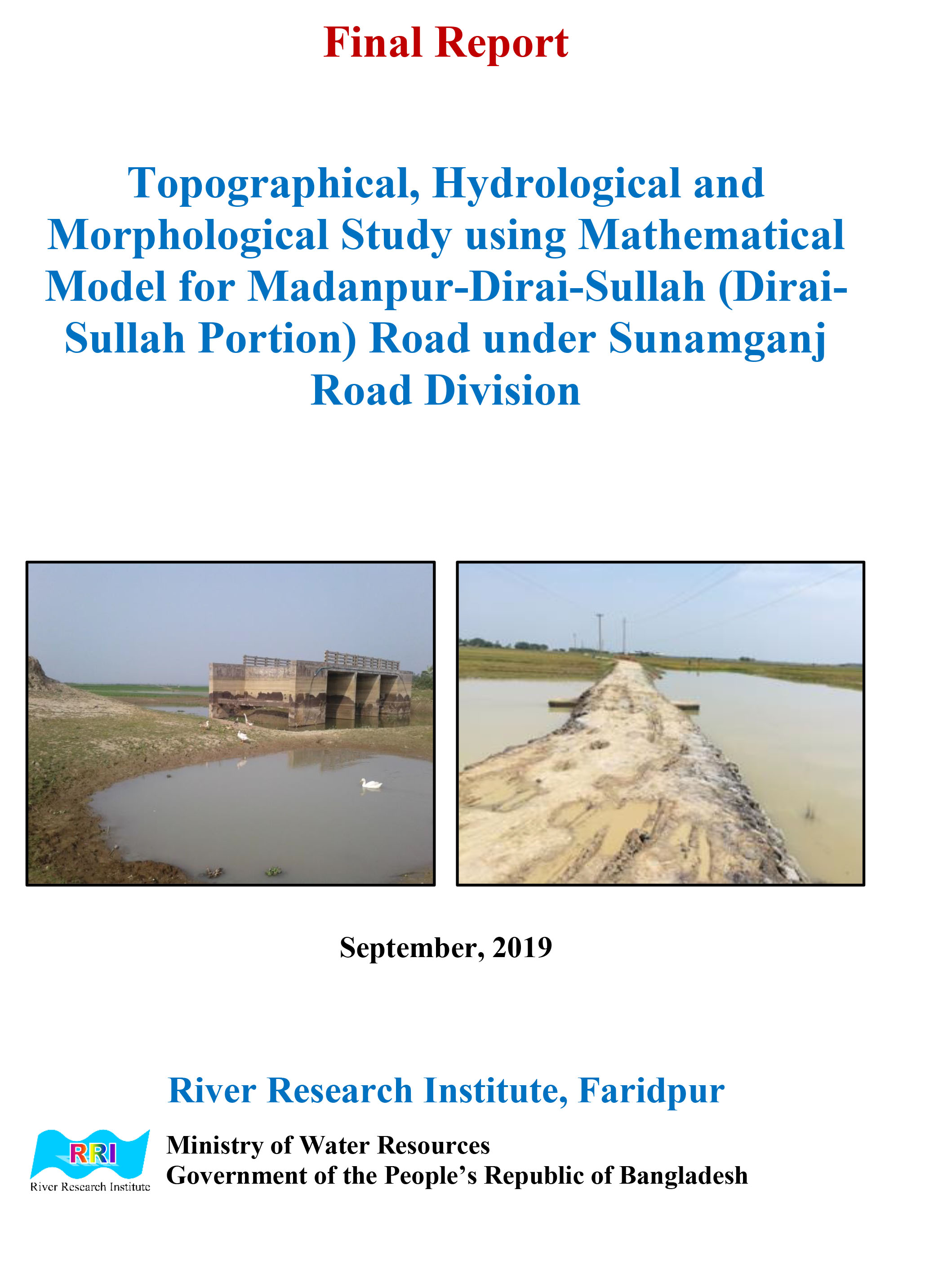
Topographical, Hydrological And Morphological Study Using Mathematical Model For Madanpur-Dirai-Sullah (Dirai-Sullah Portion) Road Under Sunamganj Road Division
Organization: River Research Institute
Published Date: Sept. 1, 2019
Uploaded Date: Jan. 25, 2024, 1:36 p.m.
Last Modified Date: Jan. 25, 2024, 1:46 p.m.
Category: EIA
Access Category: Limited
Keywords: hydrological morphological study,road sunamganj,road sunamganj road,mathematical model madanpur,topographical hydrological
Description: Not Available
DownloadRelated Documents
River Research Institute
(EIA)

Joint Rivers Commission
(Common River Basin Management on GBM basin)


| Title: | MoU and Implementation Plan on Hydrological Information Sharing between Bangladesh and China (2014) |
| Published Date: | June 23, 2024 |
| Category: | Common River Basin Management on GBM basin |
| Description: |
MEMORANDUM OF UNDERSTANDING Between the Ministry of Water Resources, Government of the People's Republic of Bangladesh and the Ministry of Water Resources of the People's Republic of China upon Provision of Hydrological Information of the Yaluzangbu/Brahmaputra River in Flood Season by China to Bangladesh (2014)
|



Joint Rivers Commission
(Sharing of Ganges Water)



Joint Rivers Commission
(Transboundary River Docs)





| Title: | MEMORANDUM OF UNDERSTANDING Between the Ministry of Water Resources, Government of the People's Republic of Bangladesh and the Ministry of Water Resources of the People's Republic of China upon Provision of Hydrological Information of the Yaluzangbu/Brahmaputra River in Flood Season by China to Bangladesh |
| Published Date: | June 23, 2024 |
| Category: | Transboundary River Docs |
| Description: |
MEMORANDUM OF UNDERSTANDING Between the Ministry of Water Resources, Government of the People's Republic of Bangladesh and the Ministry of Water Resources of the People's Republic of China upon Provision of Hydrological Information of the Yaluzangbu/Brahmaputra River in Flood Season by China to Bangladesh
|